
Dholera town
Dholera town is the existing settlement and local human geography. It has its own villages, roads, livelihoods and social history. It should not disappear behind the language of a future industrial city.
Dholera SIR
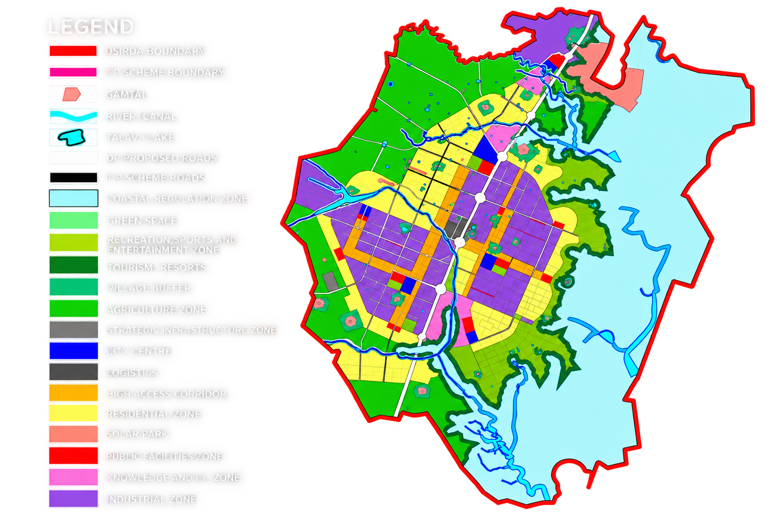
The Dholera Special Investment Region is the wider statutory planning and governance framework. It covers a large area and brings together special-region administration, development planning and infrastructure execution.
Dholera Industrial City
The Industrial City is the planned urban-industrial development within the wider framework. It is best understood as a long-term implementation ambition with facilities and zones arriving at different times.
The Activation Area
The first serviced focus area is commonly described as the Activation Area. For this site’s current editorial baseline, we use the user-confirmed figure of 22.5 square kilometres. The figure describes a planning and infrastructure focus area; it does not make every part of the wider SIR operational or available.
Why this matters for readers
A property advertisement, an airport update and a master-plan diagram may all use the word Dholera while referring to different boundaries and evidence levels. Precision is not a technicality—it protects the reader from making a decision on a category error.