
2.1 Why call it a "revival"?
The word "revival" needs explaining, because it can mislead. Dholera was never a lost city waiting to be rebuilt. The archaeological record and the medieval port history covered in Chapter 1 show a world of small harbours, market towns and agrarian settlements that rose and fell with the tide. The Harappan port at Lothal declined around 1900 BCE. The medieval and colonial ports of the Gulf of Khambhat faded as railways and deep-water harbours redirected trade to Bombay. By the twentieth century, Dholera was a modest town in a quiet district, not a ruin.
So "revival" here does not mean restoring something that was. It means recognising that the location logic is old even though the project is new. The Gulf of Khambhat has been a maritime corridor for over four thousand years. The Bhal plain has always been strategically placed between the Ahmedabad hinterland and the Arabian Sea. What is unprecedented is the idea of building a large planned city on that plain, something no Harappan trader, Solanki king, Mughal governor or colonial merchant ever attempted. The revival is not of a city. It is of the ambition attached to a place. I have made peace with the word on those terms, and only on those terms.
This distinction matters because it keeps the history honest. The deep past does not prove the modern project will succeed, and the modern project does not need to claim unbroken continuity with the ancient past to justify itself. It stands on its own terms, which is what the rest of this chapter explains.
2.2 The land before the plan
Before it was a Special Investment Region, the Dholera area was a stretch of the Bhal coastal plain: low-lying, semi-arid and shaped by the Gulf of Khambhat's extreme tides. The land is close to sea level for miles inland. Rivers and streams draining toward the gulf bring fresh water in the monsoon and salt the rest of the year. Salinity ingress is a documented regional hazard: as tidal water pushes into groundwater and soils, it degrades agricultural land and stresses drinking-water supplies in coastal villages. The Ahmedabad district disaster-management plan records this coastal-village hazard context, though a current, authoritative picture of 2026 conditions on the ground requires further verification.
The human landscape matched the physical one. The area that falls within the Dholera Special Investment Region's planning envelope contained villages, farmland, salt pans and grazing land, but no large town and almost no industrial base. Dholera town itself was the largest settlement, a market centre with a history of coastal trade but no modern industry to speak of. The surrounding villages were small, agrarian, and in many cases losing population to Ahmedabad and Bhavnagar, the two nearest cities. Rain-fed agriculture, cattle (the region is known for the Bhal breed), and salt production were the mainstay economic activities. Built-up area was minimal. Land was relatively cheap because there was little demand for it. A traveller passing through in, say, 2005 would have seen flat terrain, scattered villages, tidal creeks and not much else. Remember that quiet. It is the baseline against which every number later in this story should be read.
This is not a romantic prelude. The Bhal's environmental constraints (salinity, waterlogging, cyclone exposure, flat topography) are real and have shaped every planning decision that followed. But they also meant something practical for a greenfield project: the land was available, the displacement footprint was comparatively small, and there was almost no existing urban fabric to work around. In a state where Ahmedabad was already dense and expanding, that combination was rare.
2.3 Why here: the decision to build on the Bhal
Choosing where to build a new city is never purely about one factor. The Dholera decision, which crystallised in the late 2000s, rested on several considerations that converged on the same location.
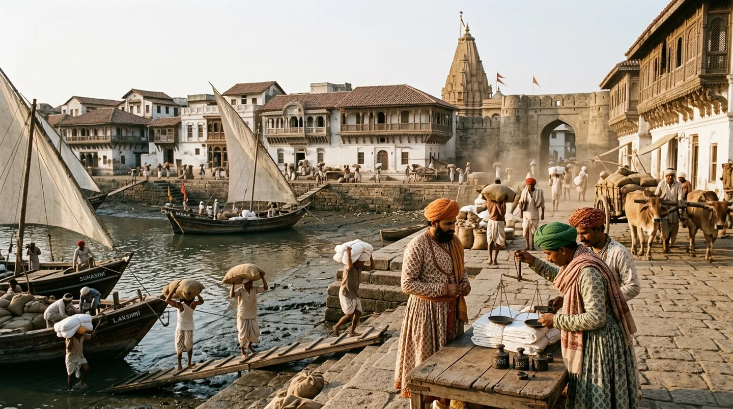
First, proximity to the Gulf of Khambhat. The site is on a coast with a long maritime history and the physical geography of a tidal plain. For a state thinking about port-linked industrialisation, the coastal position was an asset, even though no major deep-water port existed at Dholera itself. The Gulf of Khambhat's shallowness is a constraint, not an advantage, for shipping; the strategic value was the corridor, not the existing harbour.
Second, land availability. The Bhal had large contiguous parcels of land with low existing construction and few dense settlements. Acquiring and assembling land here was structurally easier than it would have been in or around an established city. Gujarat's Town Planning scheme mechanism, which allows land to be pooled and re-plotted, could be applied at a scale that would be impossible in a built-up area.
Third, the Delhi–Mumbai Industrial Corridor. Dholera's location on the Gujarat coast placed it within the western leg of the DMIC's planning geography, the corridor between India's two largest commercial centres. The DMIC connection is not incidental. It shaped the funding model, the institutional architecture and the strategic rationale. But the full corridor story belongs to Chapter 3, so it is noted here and not repeated.
Fourth, state capacity and political will. Gujarat had a tradition of large-scale industrial planning (the chemical estates of south Gujarat, the port-led model around Mundra and Hazira) and the institutional machinery to attempt a project of this scale. The Dholera decision was not made in isolation; it was the next step in a pattern of state-led industrial city-building that Gujarat had been practising for decades.
2.4 The big bet: what "greenfield city" actually means
There are two ways to grow a city. The first is to expand an existing one: add neighbourhoods, roads and services to a place that already has people, infrastructure and economic activity. The second is to build a new city on largely empty land, starting with the trunk infrastructure and letting development grow into it. This second approach is called greenfield development, and it is what makes Dholera ambitious and difficult.
A greenfield city does not inherit roads, drains, water supply or power networks. It has to build all of them from scratch, on ground that was not designed to carry urban loads. It does not inherit an existing population of taxpayers, commuters and consumers who generate demand for services. It has to attract them. And it does not inherit the social, commercial and civic networks that make a city feel like a city: the schools, markets, hospitals, cultural institutions and neighbourhoods that develop organically over generations. All of that has to be planned for, built, and then occupied by people who choose to come.
The scale of the Dholera bet is visible in the numbers. The Dholera Special Investment Region covers approximately 920 square kilometres under its DMIC-node planning framework, a footprint comparable to a small metropolitan area. Within that envelope, the government's February 2026 status note described a 22.54 square kilometre Activation Area as almost complete, with trunk infrastructure established. In other words, of the full SIR planning area, roughly 2.4 per cent has been the starting point: the first zone where roads, water, power and services have been built so that industry and population can begin to arrive. The remaining land is planned for phased development over a much longer horizon.
This phasing tells the real story. A 920 sq km plan on paper is a vision document. A 22.54 sq km Activation Area with trunk infrastructure is a construction site that has reached a specific milestone. The gap between the two is where the project actually lives: the difference between a map and a city.
2.5 What the revival demanded
Once the decision was made, three enormous pieces of work had to begin.
Land assembly. A greenfield city of this scale needs land that is legally consolidated, mapped and re-plotted before infrastructure can be built. Gujarat's mechanism for this is the Town Planning (TP) scheme: a legal process under which landowners contribute a portion of their land for roads, open spaces and public infrastructure, and receive a re-plotted parcel back in a planned layout. TP schemes allow the government to assemble developable land without outright acquisition, though the process is complex, time-consuming and depends on landowner participation. The mechanics of how TP schemes work in Dholera (the deductions, the phasing, the disputes) are covered in detail on the TP schemes page. For this chapter, the point is simpler: the revival did not start with buildings. It started with land.
Infrastructure first. Because a greenfield site has nothing to connect to, the first round of investment has to be trunk infrastructure: the roads, water supply, sewage, power and ICT systems that make a place habitable before it is occupied. An official August 2026 review listed Dholera's developed components as including roads and services, an administrative building, water sourcing and transmission, a water treatment plant, a sewage treatment plant, a common effluent treatment plant, power infrastructure and ICT facilities. These are real, built assets within the Activation Area; they are not yet the full 920 sq km's worth of urban services. The distinction matters because infrastructure completion in a starter zone is not the same as a functioning city.
An industrial anchor. A greenfield city needs a reason for people and capital to move there. Dholera's anchor is industrial: the most prominent project is Tata Electronics' planned 300-mm semiconductor fabrication facility, developed in partnership with Taiwan's PSMC, which is under development within the SIR. A government SEZ notification dated 9 April 2026 records the Tata project at 66.166 hectares with a proposed investment of approximately ₹91,000 crore and 21,000 proposed jobs. These are proposal-stage records, not proof of operational production. But they signal that the anchor is real, funded and advancing. The revival is not a plan in search of a tenant. The wider industrial ecosystem (semiconductors, aerospace, solar, green hydrogen and other sectors) is covered on the Industries page.
2.6 The revival in one paragraph
Gujarat enacted the Special Investment Region Act in 2009, giving the state a legal framework for large planned industrial regions. Dholera was designated as a node under the Delhi–Mumbai Industrial Corridor, and the Dholera Special Investment Region became one of the first greenfield industrial cities under that programme. A central–state special purpose vehicle, Dholera Industrial City Development Limited, was created to implement the project. From that legal beginning, the work moved through master planning, environmental clearance, land assembly via TP schemes, trunk infrastructure construction in the Activation Area, the inauguration of the Ahmedabad–Dholera Greenfield Expressway in March 2026, and the ongoing development of industrial tenants, with the semiconductor fab as the flagship. Each of these steps has its own date, its own status and its own story. Those details belong in the timeline.
2.7 What to read next
This chapter has sketched the arc. The chapters that follow fill in the detail from different angles.
- Chapter 3 — DMIC & strategic position: why the Delhi–Mumbai Industrial Corridor matters and where Dholera fits in the national freight and industrial strategy.
- Chapter 4 — Timeline: the full sequence of notifications, approvals, construction milestones and inaugurations, from the SIR Act to today.
- Chapter 6 — Ground reality: what actually exists on the ground in Dholera right now: roads, plots, buildings and people.
- Dholera 101 hub: the full course overview, with all six chapters and links to every topic.
For the planning mechanics (how TP schemes work, how land is pooled, what the master plan says) see TP schemes and the Master plan page.